

Elevation Map Analysis
1. Description
Digital Surface Models (DSM) and Digital Terrain Models (DTM) can be examined on Aether using the map hillshading or slopeshading visualization features.
2. Inputs
| Required | Definition |
| DSM or DTM | Digital Surface Models, Digital Terrain Models |
3. Workflow
Step 1 - Open the Survey containing the DSM or DTM.
Step 2 - Go to the BASE LAYERS section from the left panel.
Step 3 - Select the model (DSM or DTM) and click it to open the information panel on the right side.
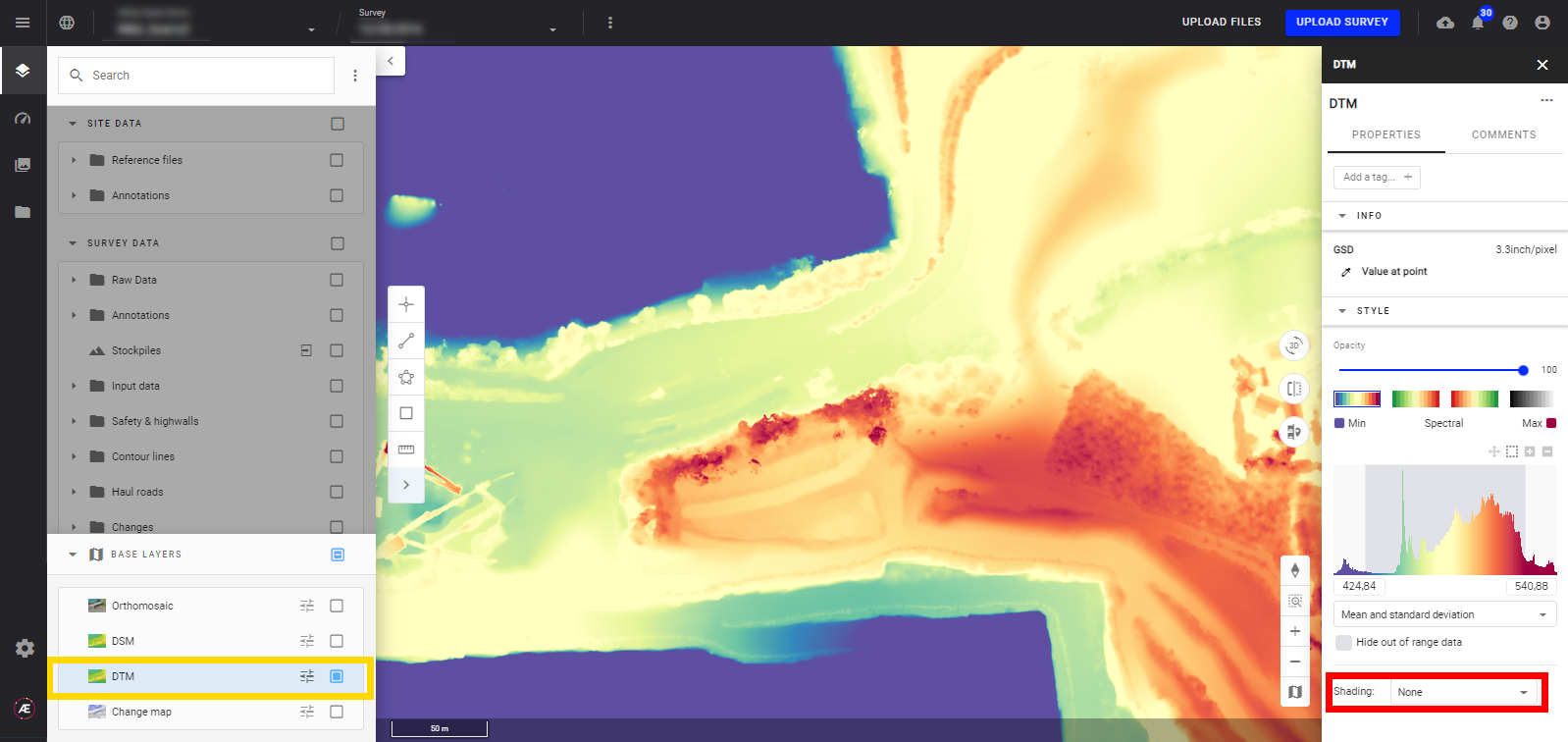
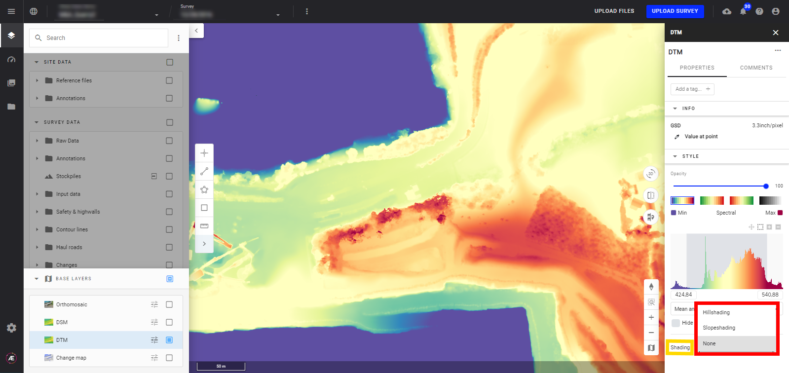
Step 4 - Go to the shading section at the bottom of the information panel and select the shading.
4. Results
- Depending on your selection the display will be updated, view the DSM example below:
| NO SHADING | 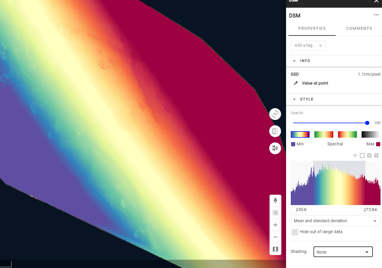 |
| HILLSHADING | 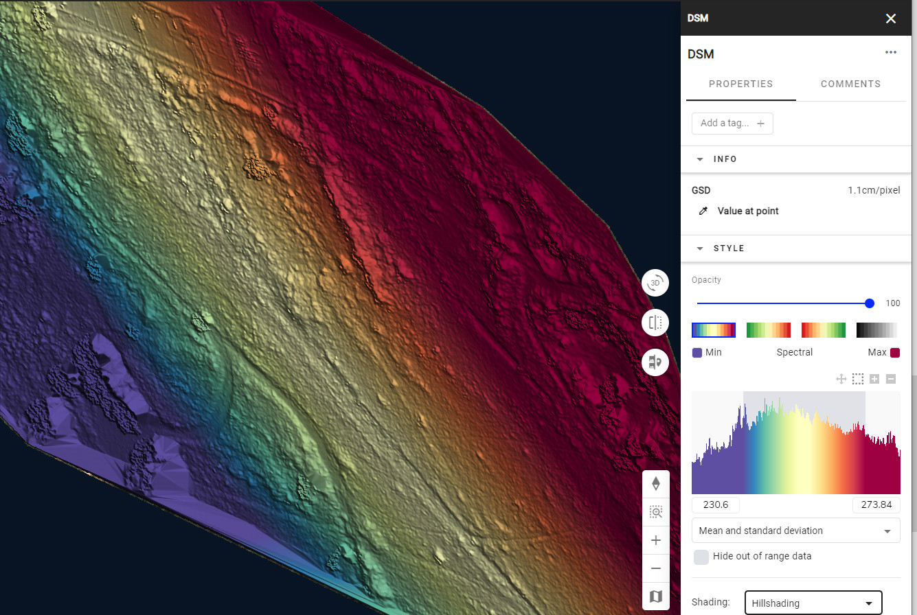 |
| SLOPESHADING | 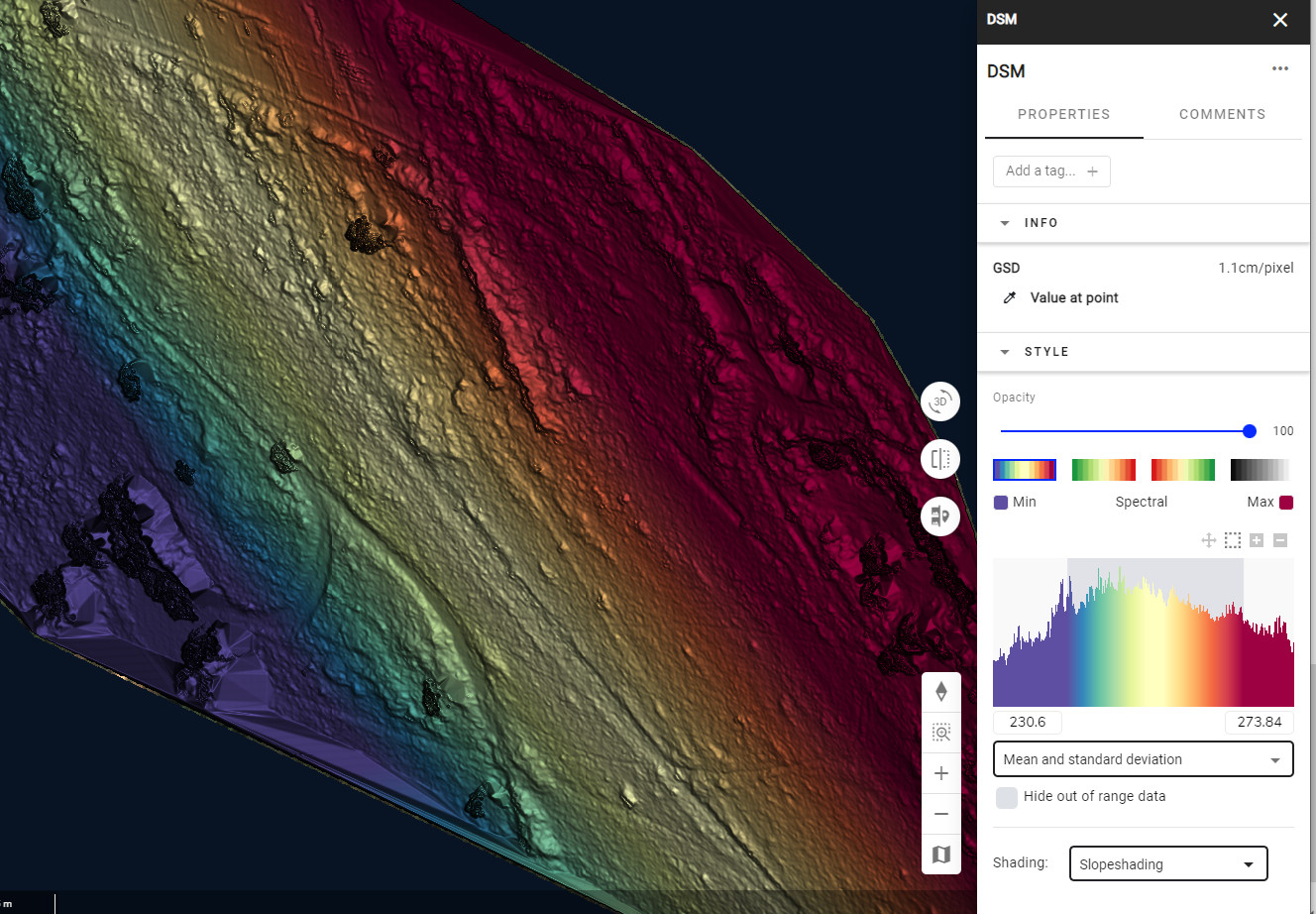 |
- Read the Elevation Change Map for more information about how to view changes between two successive DSMs.
