Annotation Report
1. Description
Enhance the accessibility, interpretability, and overall impact of project data by sharing a PDF report of project annotations.
This report serves as a concise and comprehensive document encapsulating valuable insights derived from the annotations within a project. By compiling annotations in a structured and easily shareable PDF format, one can streamline communication, foster collaboration, and ensure critical information is effectively delivered to stakeholders. Share not only the raw data but also the interpreted and annotated insights, facilitating a clearer understanding for collaborators and stakeholders.
Leverage this valuable tool for communication and documentation: Sharing a contextualized report, that overlays the orthomosaic and vector tile layers with annotation vectors, enhances data interpretation, collaboration, and decision-making. The overlay of orthomosaic and vector tile layers with annotation vectors provides a more comprehensive and visually rich representation of the spatial data. This detailed visualization aids in better understanding and interpretation.
2. Workflow
List of available inputs:
- Rasters
- Vector annotations
- Vector tile layers
Step 1 - From a project layer view, click on the 3-dot menu (1) near the "Search" Bar and select "Annotation Report" (2).

Step 2 - Fill in the "Name" of the report, select the desired size and format, and click on "NEXT".

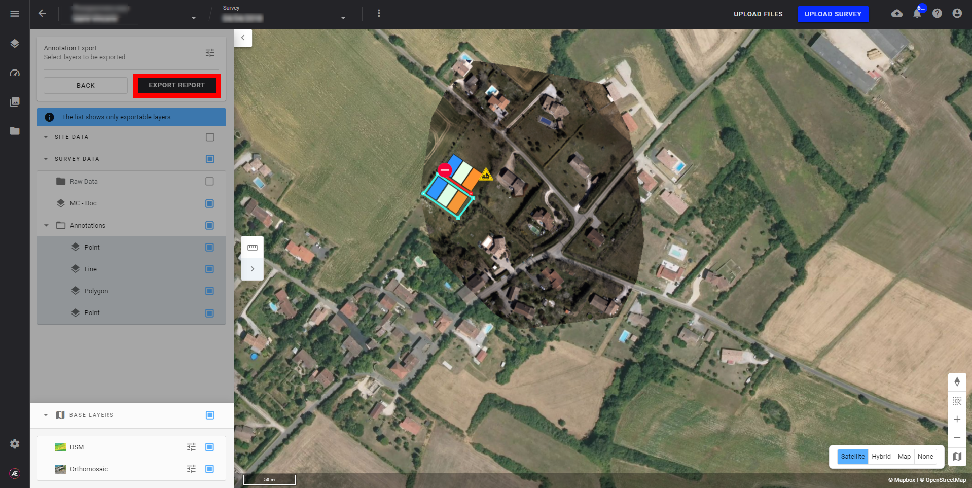
Step 3 - Select the annotations to display in the report, the raster, and the map ground layer (Satellite, Hybrid, Map, or None), and click on "EXPORT REPORT".
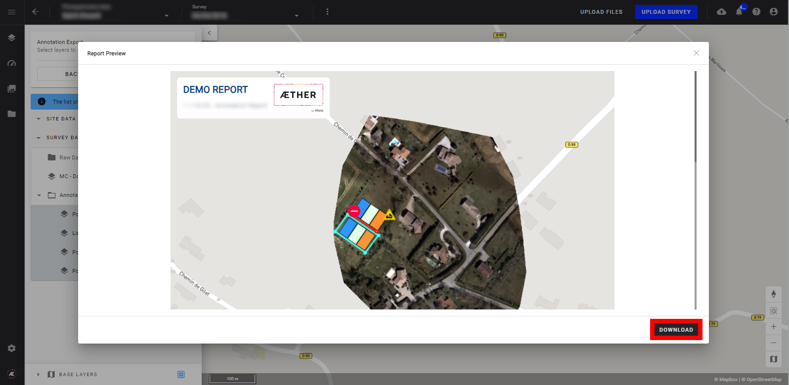
Step 4 - Review the report preview and click 'DOWNLOAD' when satisfied.
3. Results
The report is downloaded directly to the User's computer.
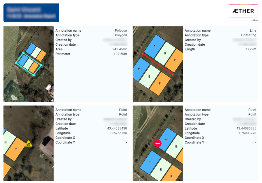
Example of a complete report
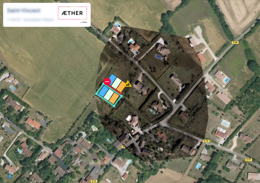
- Front page with a complete zoom-out of the project.
- Annotations page that detailed all annotations selected (up to 4 views per page).
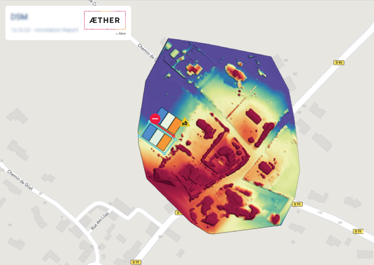
- The same project with DSM as raster and map as a ground layer.