Point Cloud Geographic Conversion
1. Description
This tool converts a point cloud into local coordinates (see Local Coordinates).
2. Prerequisites
Project with local CRS, if necessary consult Coordinate Reference Systems (CRS).
3. Workflow
3.1 Step by step to launch the analytics.
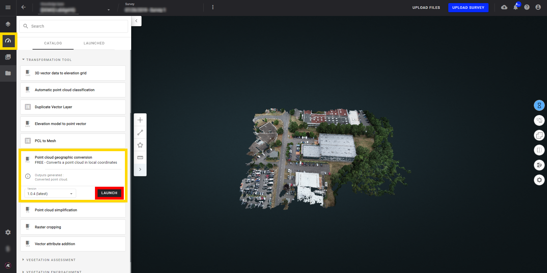
Step 1 - In the "Analytics" tab, search and select "Point cloud geographic conversion" and click on "LAUNCH".
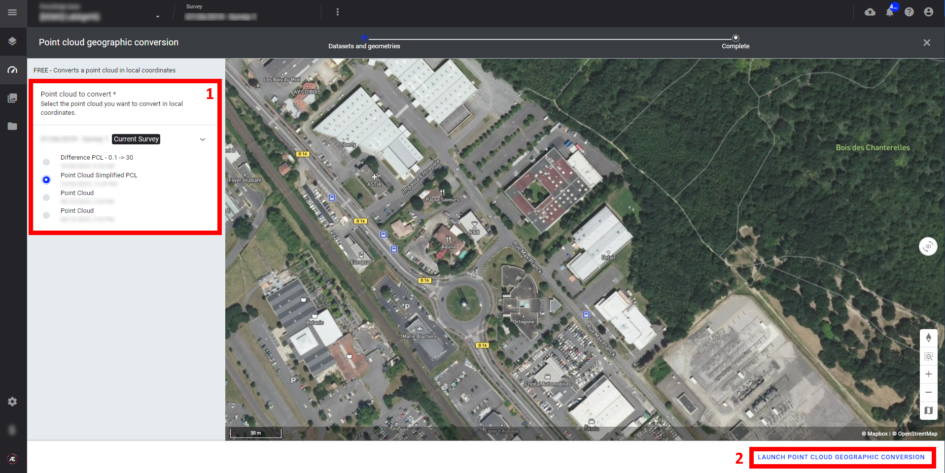
Step 2 - Select the "Point cloud to convert" (1) and click on "LAUNCH POINT CLOUD GEOGRAPHIC CONVERSION" (2).
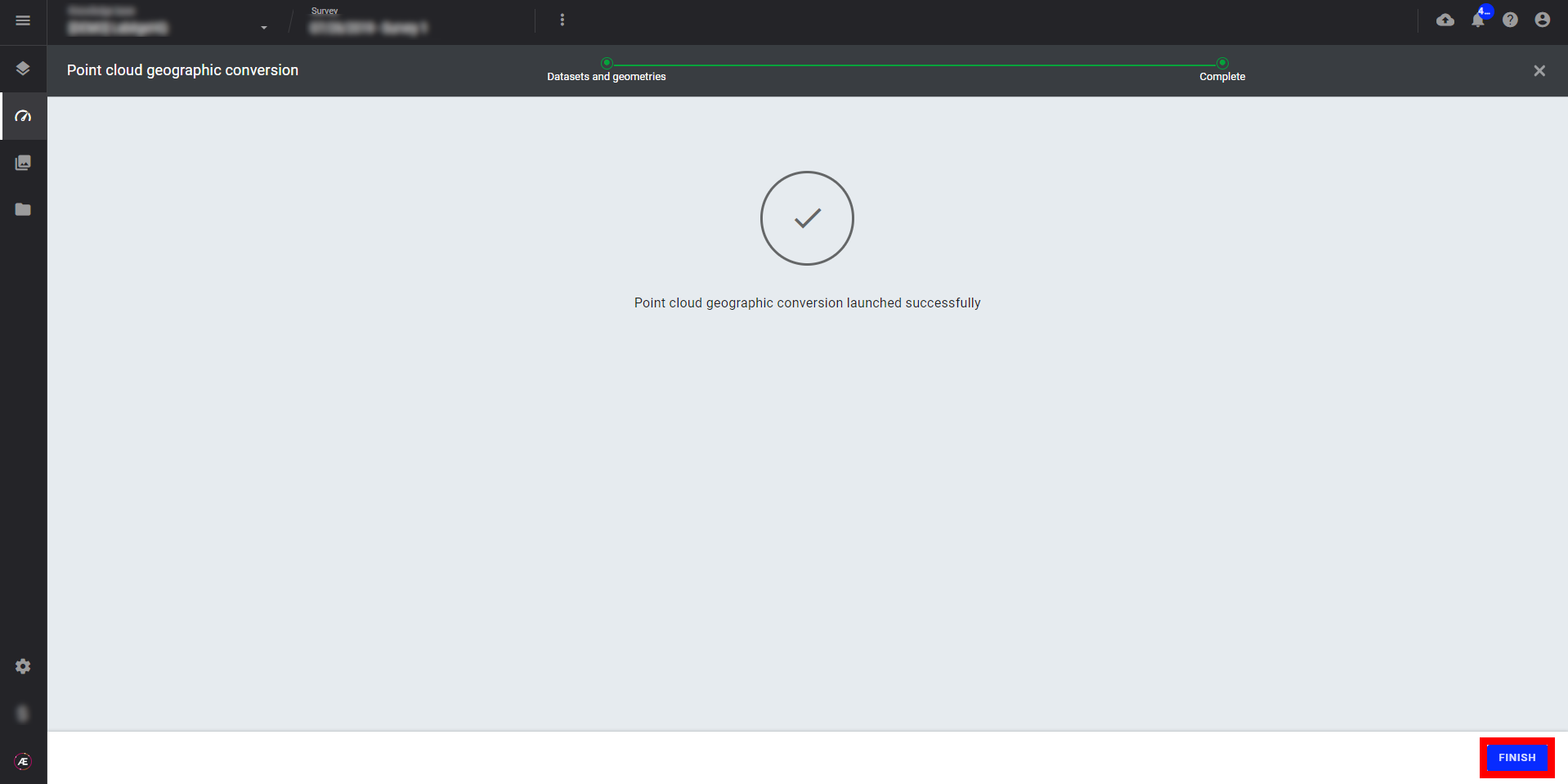
Step 3 - Click on "FINISH" to leave the analytics.
3.2 Status and Progression
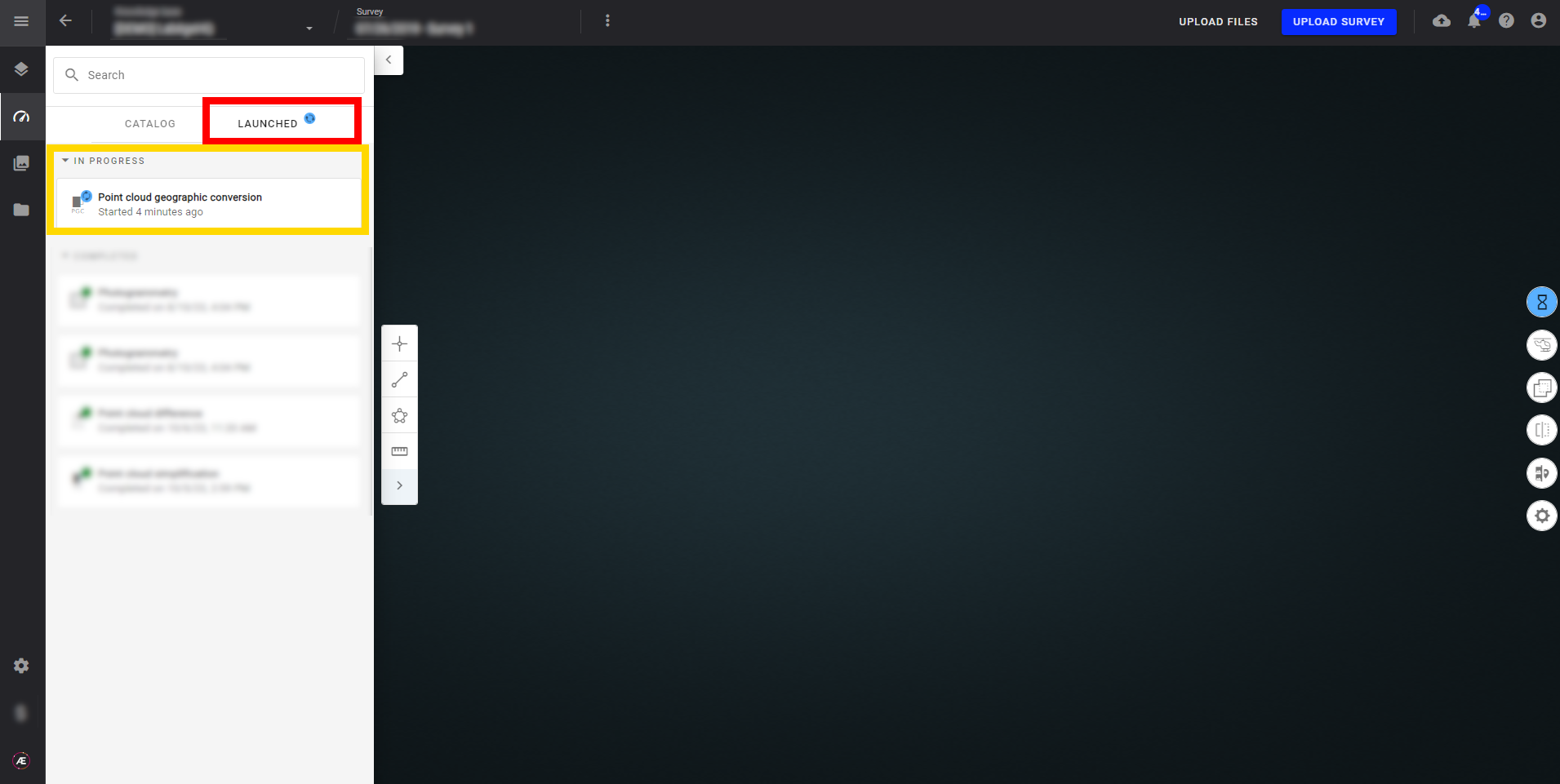
Check in the "LAUNCHED" tab that the analytics is in progress.
Aether will notify the user that the analytics results are available.
3.3 Results
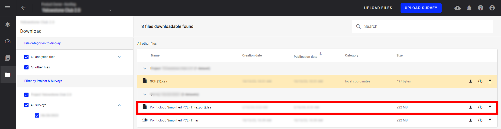
The result is not visible on the 2D Layers view. The file is available in the "Download" module.
4. Deliverables
The analytics result files are located in the "Download" section.
The file to download is a point cloud in .las format projected in your local coordinates system.