

Contour Line
1. Description
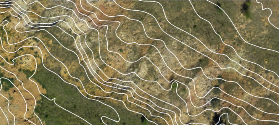
Contour Lines are defined as lines joining all points of the same elevation on a map. Aether calculates and displays these lines using a Digital Surface Model (DSM). These lines can notably be used to assess how the terrain is profiled.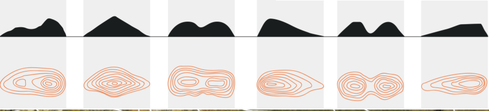
2. Generating Contour Lines
Contour lines can be obtained once a Photogrammetry process has been completed with an orthomap and a DSM available as layers, or after having imported these inputs processed from third-party software.
Step 1 - Open a Project and select a Survey.
Step 2 - Press the Analytics button from the left panel and select the Contour Line analytics.
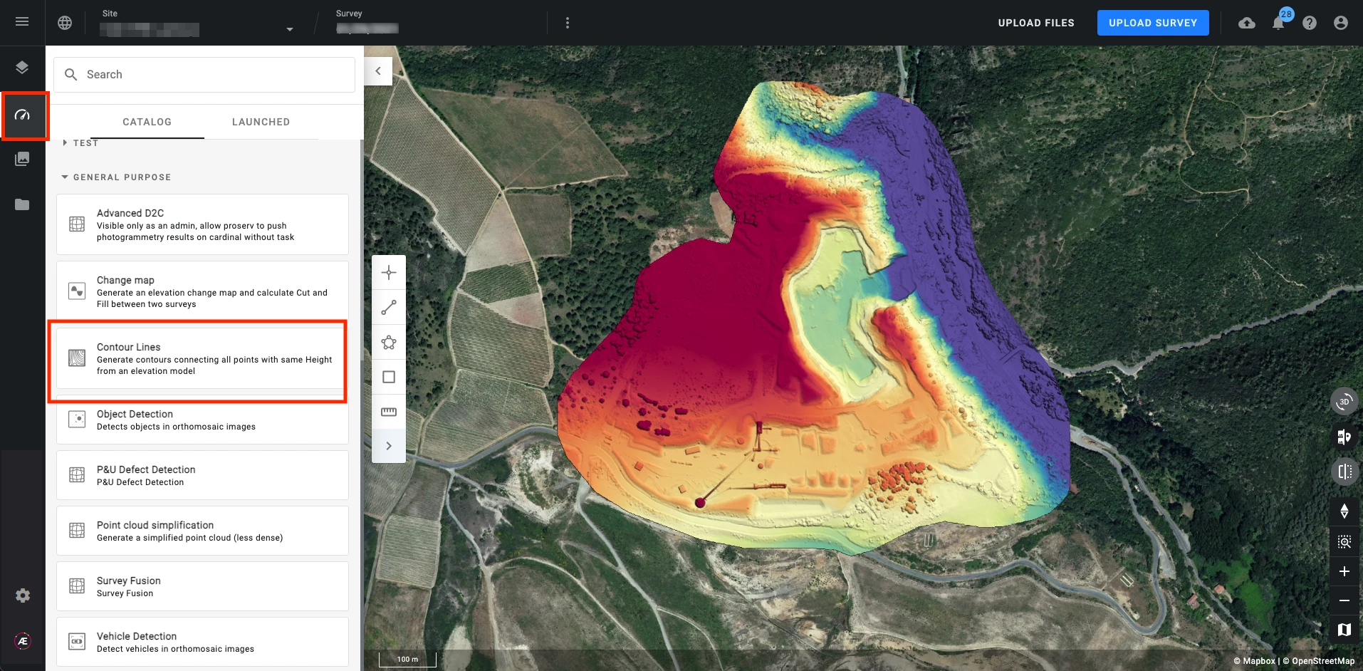
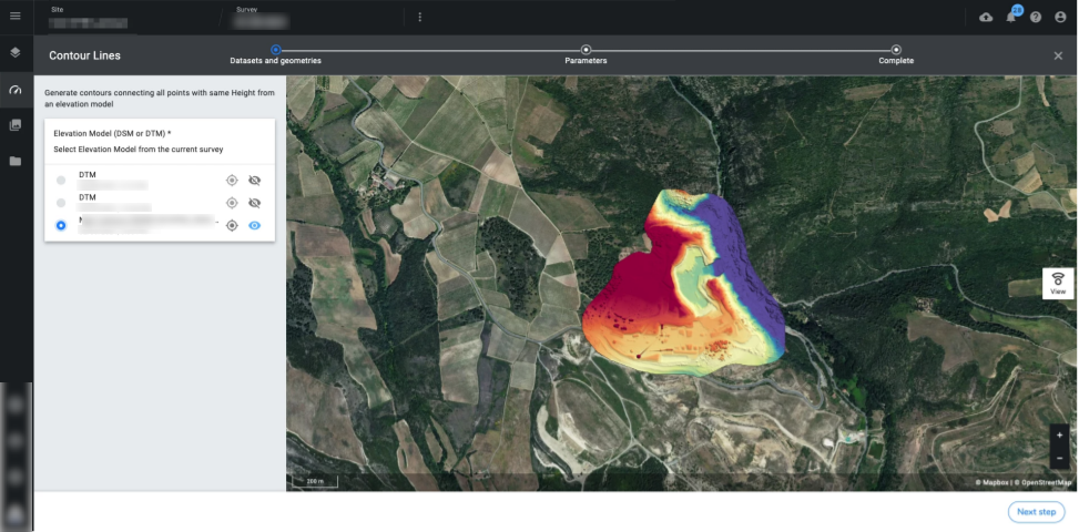
Step 3 - Select the Elevation Model you wish to use as an input to generate the contour line.
Step 4 - Enter the following parameters:
- DSM Resolution (Default value = 0.2 m/px or 1 ft/px): The GSD value you wish to subsample the DSM. You can find the original GSD of the raster on the info panel. That means you must enter a DSM resolution lower than the original GSD.
- Minor interval (Default value = 2 m or 5 ft): Distance between each minor contour line.
- Major interval (Default value = 10 m or 50 ft): Distance between each major contour line.
- Baseline (Default value = 0): Z value of the starting contour line
- Smallest area (Default value = 2 m² or 50 ft²): If the contour line encloses an area smaller than this parameter it will be removed from the output
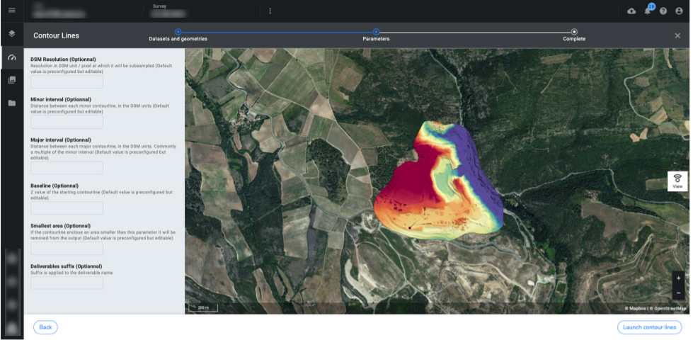
Step 5 - Click on "LAUNCH CONTOUR LINE".
3. Displaying Contour Lines
Go to the layer panel and tick the contour lines layer to have it displayed on the 2D view. Adjust some display settings such as the color, by clicking the layer to open its information panel on the right side.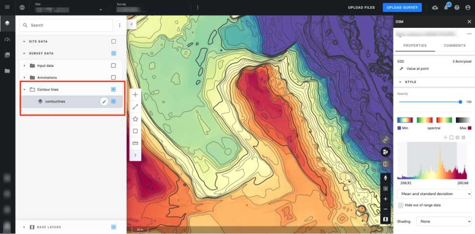
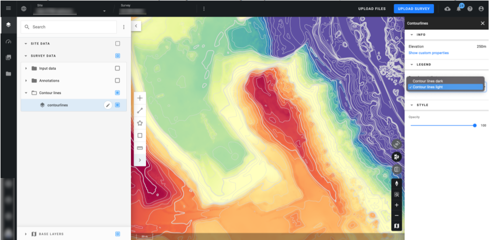
Change the color of the contour line by clicking on the vector, going to the style section on the info panel, and choosing “Contour lines light“.
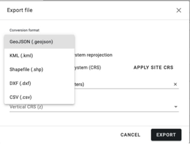
4. Exporting Contour Lines
Go to the "Download" section to export the Contour Lines for further use with third-party software.
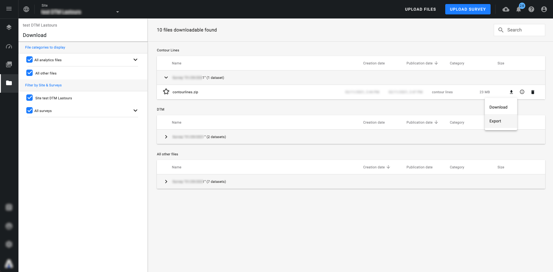
Choose a file format and click on "EXPORT".
Please click here if wish to learn more about file exportation.
